El Niño Returns- What has Kenya Learned from the Rains of 1998?
28 years later, Kenya is once again coming face to face with El Niño, a climate phenomenon associated with changes in rainfall and temperature patterns across the world. Today, the weather forecasts indicate that the ongoing El Niño signal could persist into early 2027, with most parts of Kenya expected to receive above-normal rainfall during the season.
For many Kenyans, the word El Niño instantly awakens memories of the 1997 and 1998 rains. They were unusual and turned into one of the country’s most destructive weather events in history.
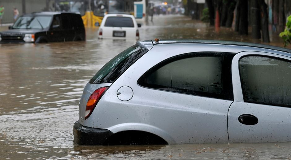
Back in 1997, the rains began around October but became dramatically intense in November and continued into early 1998. Floods swept through parts of the country, destroying homes, roads, bridges, farms and water systems. Communities, particularly along the Tana River, were deeply affected, with floodwaters remaining static for more than three months in some areas.
Agriculture was also hit hard. The heavy rains damaged maize and wheat crops during harvesting, while floods destroyed crops and livestock in several regions. Roads and bridges were washed away, making it difficult to transport food and supplies. Some communities became isolated for weeks or months.
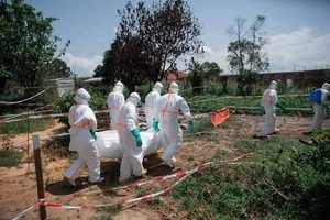
The consequences on health were equally serious. The flooding and poor sanitation contributed to outbreaks of waterborne diseases, including cholera. Meanwhile, malaria transmission increased in areas where stagnant water created breeding grounds for mosquitoes.
The economic cost of this impact was enormous. A World Bank assessment later estimated that the 1997/98 El Niño floods, together with the drought that followed in 1999–2000, cost Kenya an average of at least 14 percent of GDP in every one of the affected years.
But Kenya of 2026 is not the same country it was in 1997, or so we’d like to believe.
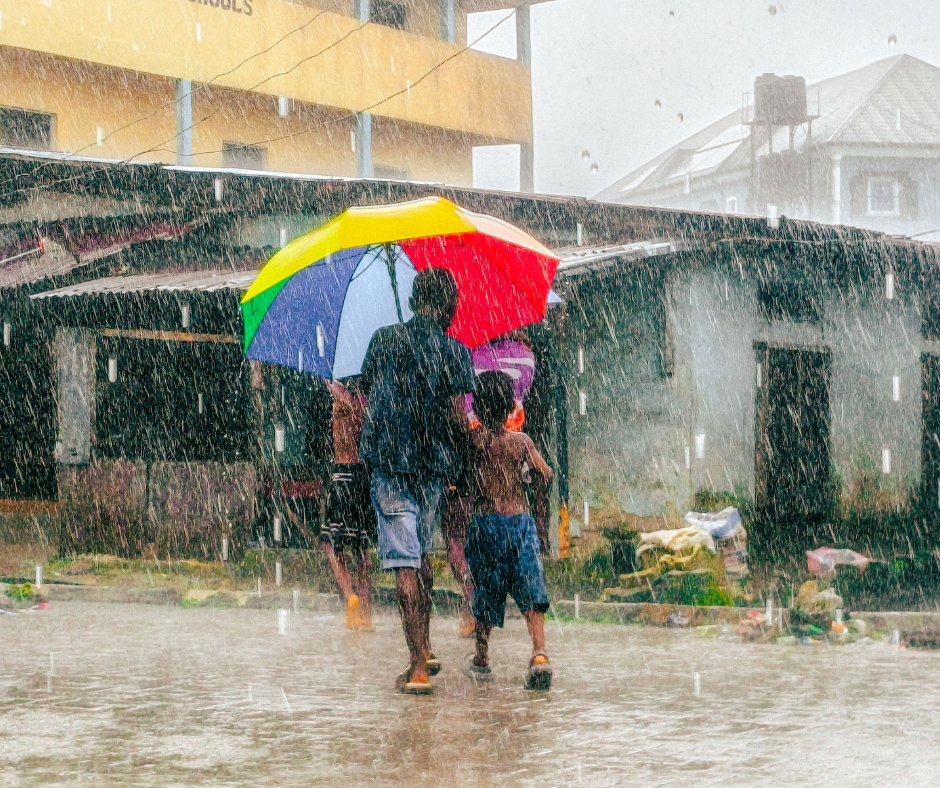
One major difference is the early warning and preparedness. In 1997, meteorologists had issued an El Niño forecast months before the worst rains arrived, but the warning was not trusted enough, nor was it translated into effective measures preparedness. Not only did Kenyans not take the warning seriously, but the country itself had no comprehensive national framework for managing flood disasters at the time.
Today, forecasting, satellite monitoring and early-warning systems have improved significantly. Authorities increasingly utilise impact-based forecasting, which focuses not only on predicting rainfall but also on anticipating what that rainfall could do to communities, infrastructure and general livelihoods of Kenyans.
Urban Kenya has also changed dramatically. Nairobi and other cities have expanded, bringing more roads, buildings and paved surfaces. And while poor drainage, construction in flood-prone areas and blocked waterways have already proven to turn heavy rainfall into flash floods, you’ll notice that there are major works underway to alleviate this.
At the same time, today’s El Niño is not necessarily a repeat of 1997–98. Scientists say the interaction between El Niño and other climate patterns matters a lot. The powerful 1997–98 event coincided with a strong positive Indian Ocean Dipole, while the current Indian Ocean Dipole is neutral.
So, what lesson can we learn from the 1998 rains? Is it to fear El Niño? No. It is to take the warning seriously and be prepared to avoid what we possibly can. Kenya today has more knowledge, technology and experience. The real test is whether this knowledge reaches households, farmers, businesses and local authorities early enough so that we turn forecasts into action.